
Our Vision
By mediating the gap between different data sources, we build digital replicas of processes, buildings, and communities, bringing other stakeholders to collaborate on one platform as a single source of truth.
Our Story
By putting our vast experience and services into our middleware platform , we have succeeded in developing the digital twin backbone & and foundation for the complete digital transformation of processes and assets.
Our Technology
Our multitenant digital twin platform is created on the latest technologies and inspired by the need to
connect different systems that can
help manage future development and innovations.
Single source of Digital Data for your
Built Asset Lifecycle
Why NexusTwin?
Single Portal
- Single centralized source of data for asset life cycle in each phase.
- Platform access from any place and anytime with a network connection.

Open Data
- It is powered by OpenBIM standards and open GIS data, allowing data to flow more efficiently between stakeholders, reduce misunderstandings, and improve the speed of collaboration.

Real Time Data
- Allows for synchronization between BIM, GIS, and IoT data. Make your asset digital models a living-learning model, updated with real-time data across asset life cycle phases.

Smart Digital Twin Assets
- Connecting different data sources enables end-users to run predictive maintenance, automation, and facility management, significantly minimizing costs and time for asset owners

Software agnostic
- Interoperable among different vendor systems. Users can use, share and retrieve BIM, GIS, and IoT data from different software vendors operating together in a coordinated way.

Scalable, and Maintainable
- The platform is built on a relational database, allowing data integrity, flexibility, high security, and feasibility for future modification based on end-user requirements.


PLATFORM MODULES
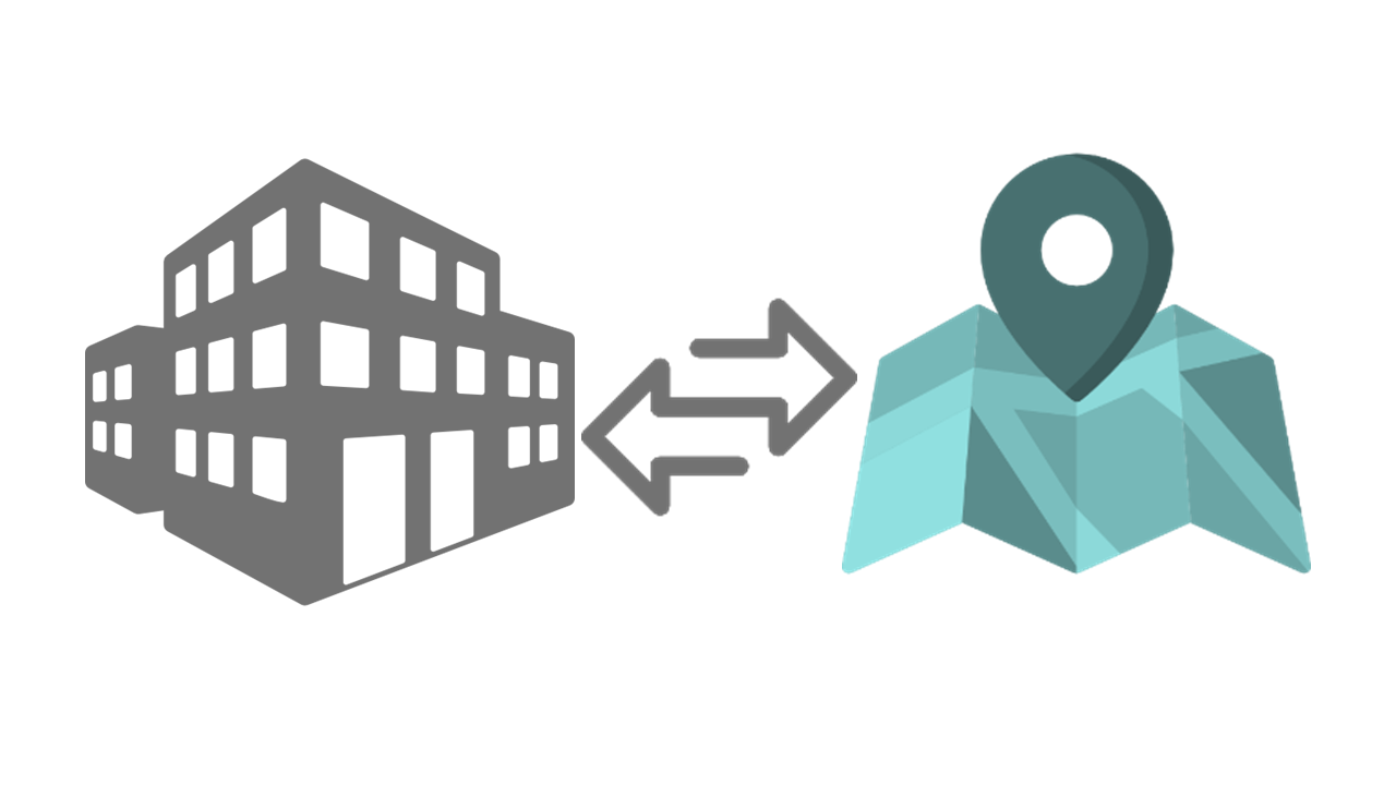
BIM & GIS
Create a seamless, bi-directional flow of data between GIS and BIM.
Automatically convert the BIM model in GIS format right after granting permit
Better view how the infrastructure project fits and interacts with the existing surrounding ecosystem.
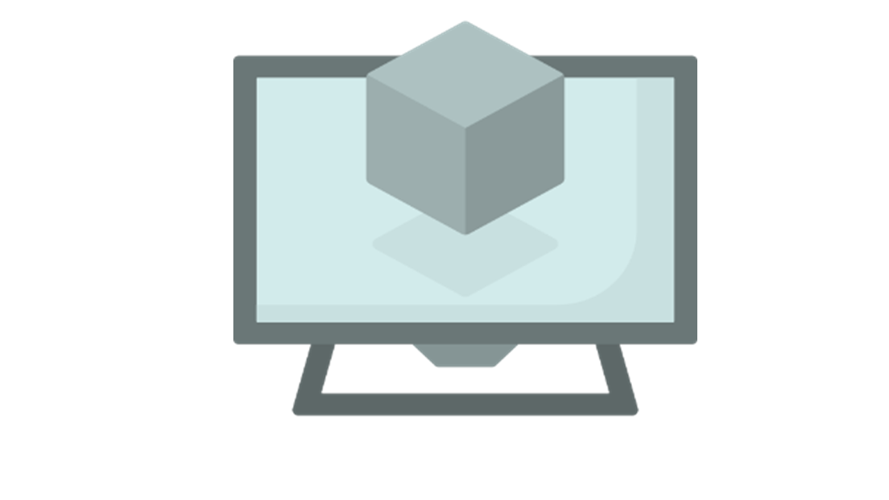
3D VIEW
Custom, flexible and completely proprietary 3D viewer for BIM models.
All users can search and filter the BIM model, & communicate issues with others
Simple Mouse actions allow you to zoom and rotate models, show and hide parts and assemblies, and create cross-sections views.
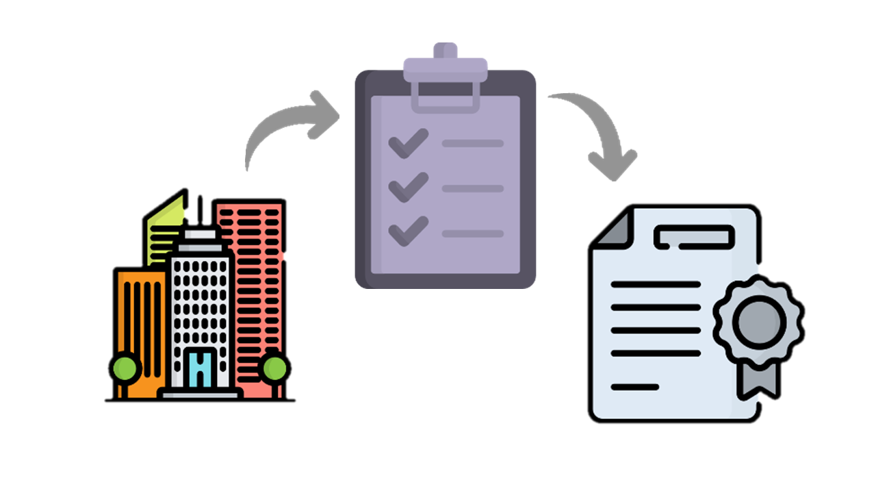
AUTO CODE CHECKS
Reduce the time wasted in approval cycles through granting automated approvals by the Automated code checking engine
Create , edit and categorize complex and custom groups and rule categorise are customisable by the user.
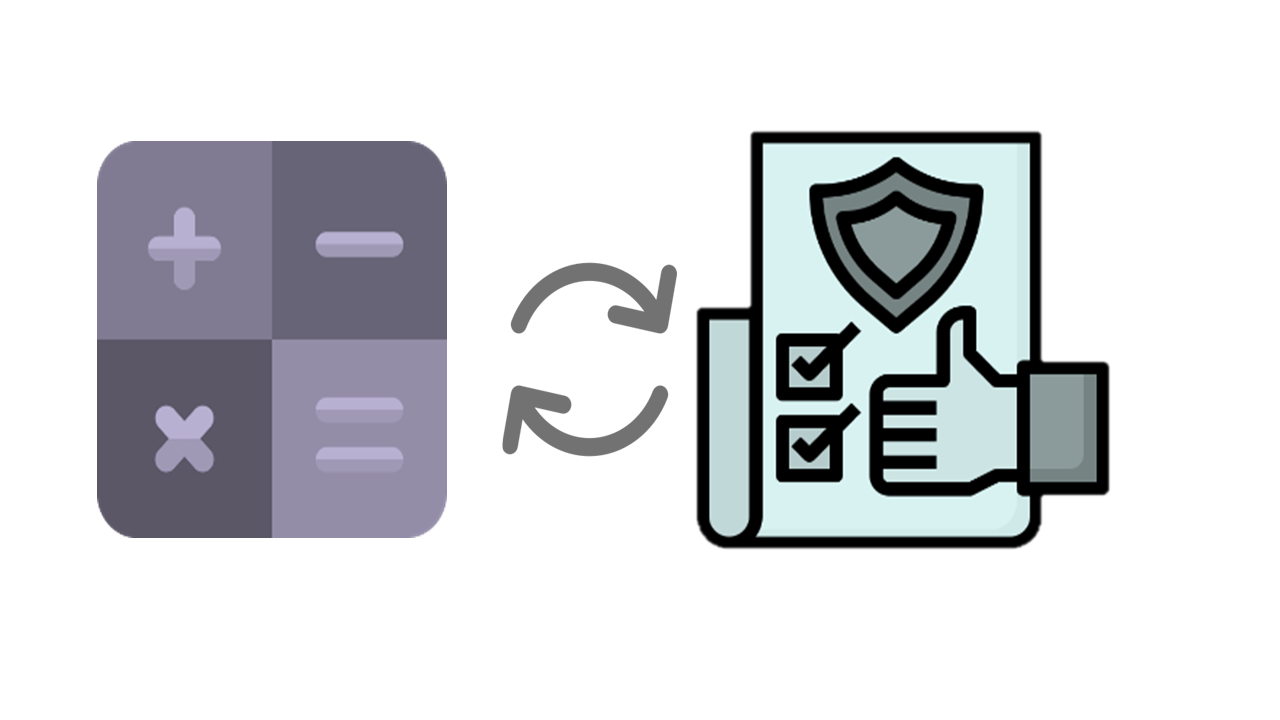
Calc &QA Check
Automate the model quality checking procedure on federated models.
Automate different calculation processes required for the built up area, gross floor area, car parking, etc.
View the result in tables & compare between results for optimizing design.
Collab & Manage
Connect AEC teams and relevant stakeholders by working simultaneously on one centralized BIM model.
Improve communication with feedback tools such as exporting issues in .bcf file, & make smarter decisions with project insights.
Deliver high-quality BIM models on a single platform and stay up to date with design progress.
BIM2 DIGITALTWIN
View multiple georeferenced BIM models into a geospatial context and enhance interoperability in decision-making.
Offer different map layers such as terrain, street view, traffic view, etc., and different map types using standard map navigation tools (zoom, measure, length, etc.)
Manage Spatial Data
Manage the entire data lifecycle
Collect new data, connect to existing data, or leverage ready-to-use data.
Bring geographic context to your project
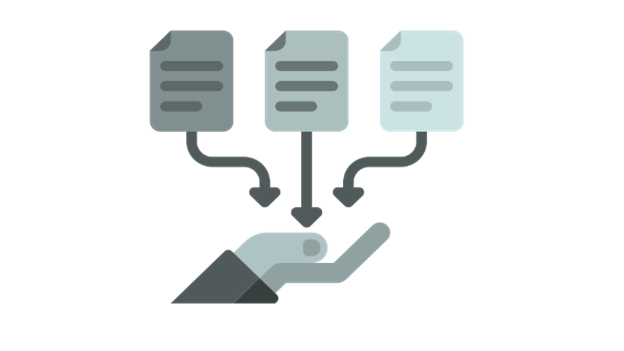
THE CDE
Establish data exchange protocols
Create a single source of truth for AEC team to improve decision making
Reduce time spent looking for, sharing & coordinating information
Asset Data is readily available for GIS conversion & Digital twin transfer after project closeout.
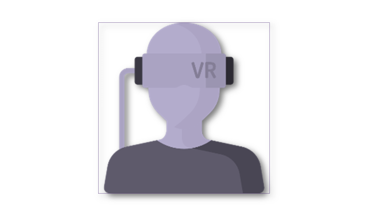
Extended Reality
Visualize the BIM models that have VR with a high level of detail
Communicate, and collaborate in the VR environment using the tools available to avatars
Utilize Live georeferenced VR environment updated in real-time.
WE ARE HERE TO HELP YOU
MANAGE YOUR ASSETS EASILY and WISELY
- 1. Collaborate with your stakeholders proactively
- 2. Use it as a single source of truth for project documentation for the asset lifecycle.
- 3. Know your project performance and status
- 4. We georeferenced BIM 3D viewer with additional tools such as building information showcase, fly-by modes, 3D tile caching for improved performance, and point cloud support.
- 5. Sell your properties into virtual reality and apartment VR preview
- 6. Support assets monitoring and facility management
- Want to know more … Book a demo
IMPROVE THE QUALITY OF YOUR MODELS
- 1. Accessible, up-to-date BIM models and drawings
- 2. Add a geospatial context to your BIM design
- 3. Transform your BIM models to GIS data and vice versa. Transform your GIS data into BIM mode
- 4. A central source for project communication
- 5. View your design in virtual reality
- 6. Up to date-to-date project dashboards and reports
- Want to know how?… Book a demo
REDUCE CONSTRUCTION COSTS
- 1. Mitigate risks and minimize rework with clash detection
- 2. Single source for 2D and 3D data information across disciplines
- 3. Seamless communication with collaborative issue management
- 4. Real-time data from the construction field
- 5. Easy generate your building as-built design.
- 6. Virtual reality to see how the result should be.
- Want to know how?… Book a demo
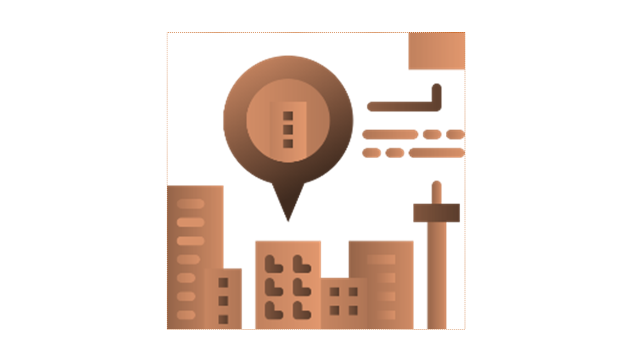
BUILD YOUR SMART CITY. THE SMART WAY
- 1. Digital transformation of permitting processes
- 2. Build your centralized digital archive of city properties’ digital shadows and documentation in all construction phases.
- 3. Smoot transition of BIM into GIS data and vice-verse
- 4. Innovative city solutions, i.e., reduce costs with traffic and light predictive maintenance
- 5. Control city building assets with measure and monitoring systems (energy consumption, heating, noise levels, air quality).
- 6. Visualize building, community, and complete city with XR
- 7. Create the foundation for your digital twin City
- Want to know how?… Book a demo

Become our partner
Together, we can find the way to make the physical world work better using the power of digital twins.
Why cooperate with us?
Whether you want to expand your product portfolio or upgrade your current solution with our digital twin platform, we are here!
We would be happy to discuss our mutual point of interest and the benefits of partnering with our company. Contact us today to learn more about how NexusTwin helps business digitize their AECO operations and processes!
RESOURCES
Contact Us
Contact us to discuss how Nexus Twin can help you to elevate your projects and business!
Get in touch
INS SKOPJE, MACEDONIA
Location:
Skopje, Kole Nedelkovski no.6
Email:
info@ins.com.mk
Call:
+389 (0)2 316 7000